Wet Winter, Spring Alleviate Drought Conditions in State
Maine’s wet 2017 winter and spring eased the 2016 drought conditions, says Sean Birkel, University of Maine research assistant professor and Maine State Climatologist.
Winter precipitation was 2.3 inches more than normal on a statewide average, he says, totaling 11.7 inches water equivalent. And spring precipitation was 2.5 inches above normal, totaling 12.3 inches water equivalent.
These and more of Birkel’s findings are included on the updated Maine Climate News site.
In 2009, the University of Maine Cooperative Extension and Maine Sea Grant, in partnership with the university’s Climate Change Institute, started Maine Climate News to provide a central source of information specific to the state.
“Our goal is to provide a portal to climate change science and research at the University of Maine and beyond, as well as a resource for news and climate-related activities throughout the state,” says Esperanza Stancioff, associate professor and climate change educator with UMaine Extension and Maine Sea Grant. “Sean Birkel, our state climatologist, provides updates on Maine’s climate seasonally.”
One notable event of winter 2017 was a major nor’easter on Feb. 12-13 that delivered over 30 inches of snowfall to some areas of central and Down East, Maine.
While both winter and spring were wet, the winter was warm and the spring was cool, says Birkel. The average statewide winter temperature was 20.1 F and the average statewide spring temperature was 38 F.
The temperature in March, says Birkel, was the third coldest since 1984, behind 2015 and 2014. On May 18, though, daytime high temperature across the state soared into the 80s and low 90s, breaking some records.
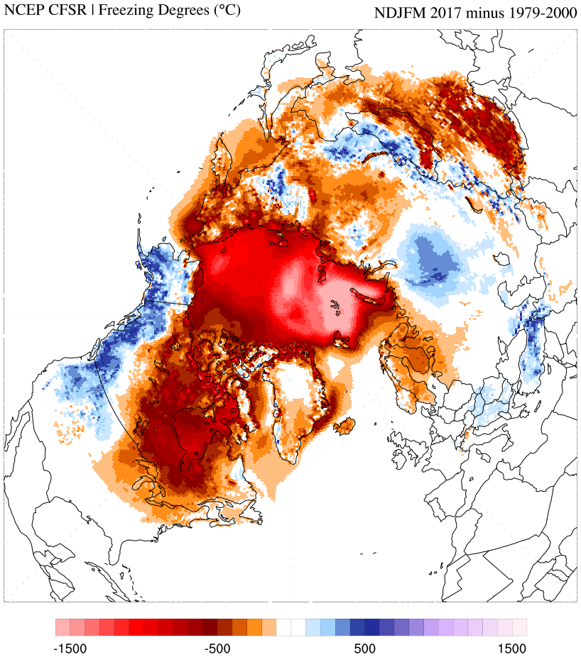
Birkel says the climate in Maine and across the Northern Hemisphere is impacted by the declining extent and thickness of Arctic sea ice.
Since 2007, September minimum sea-ice extent has been consistently lower than the historic baseline for the era of satellite observation, Birkel says, adding that particularly low sea-ice extents occurred in September 2007 and 2012. The 2017 melt season follows a record warm Arctic winter, and Birkel says it’s likely this September could prove to be yet another record-breaker if weather patterns conducive to melt develop.
“There is less sea-ice volume across the Arctic Basin now than at this time of year in 2012. It is almost inevitable that a new minimum extent record will be set in September,” he says. “This translates to delayed onset of Arctic winter which will, in turn, impact atmospheric circulation across the Northern Hemisphere.”
Birkel says one prominent view suggests a link between Arctic sea-ice loss and an increase in frequency of extreme climate events — heat and cold waves, record rain and snowfall — that have been observed across the Northern Hemisphere in the past decade.
Maine Climate News also contains information from the Maine Climate and Agriculture Network, which identifies data on climate change that could have the greatest impacts on agriculture. It also looks to link management options that limit farm risk and takes advantage of opportunities.
Changes in average weather and extreme weather are affecting Maine agriculture, bringing both risks and potential opportunities, according to data compiled by the network.
One notable difference is that the average length of Maine’s frost-free growing season is 12 to 14 days longer than it was in 1930, and it’s expected to continue to increase by two to three days per decade.
Several potential responses to the longer growing season include choosing longer-season crops or varieties, being flexible with earlier or later planting dates and raising two consecutive crops on the same land during a single growing season.
Daily high and overnight temperatures also are increasing, according to the network. The high temperatures can damage crops, including apples and peppers, as well as impact the health and productivity of dairy cows and other livestock.
Possible responses involve considering temperature sensitivity in site/crop/variety and breed selection; adjusting schedules to reduce worker heat exposure; and having misting or other systems to cool livestock.
The Maine Climate and Agriculture Network also reported the frequency of extreme storms in the state increased in 74 percent between 1948 and 2011. Intense storms used to occur an average of once per year and they now occur an average of once per 7 months.
In addition, the maximum hourly rate of precipitation increased by about 35 percent between 2001 and 2013. The frequency and intensity of extreme precipitation events are expected to continue increasing in the coming decades.
Intense rainstorms during the growing season increase the risk of soil erosion, seed loss, soil saturation, flooding, nutrient runoff and loss of fieldwork days.
Strategies include selecting flood-tolerant crops/varieties, installing ditches or drainage tiles to handle excess water and greater use of greenhouse and hoop house production.
The updated Maine Climate News also includes an article about doctoral student Nicole Ramberg-Pihl’s research involving Atlantic salmon habitat in a rapidly changing climate, and recent blogs about the wet spring, extreme precipitation in the Gulf of Maine, and early 2017 global heat records.