Quarterly Climate Impacts and Outlook, Northeast Region, June 2020
The June 2020 issue of NOAA’s Quarterly Climate Impacts and Outlook for the Northeast Region includes information on
- Selected U.S. Significant Climate Anomalies and Events for May and Spring
- Highlights for the Northeast
- Regional Climate Overview: March–May 2020
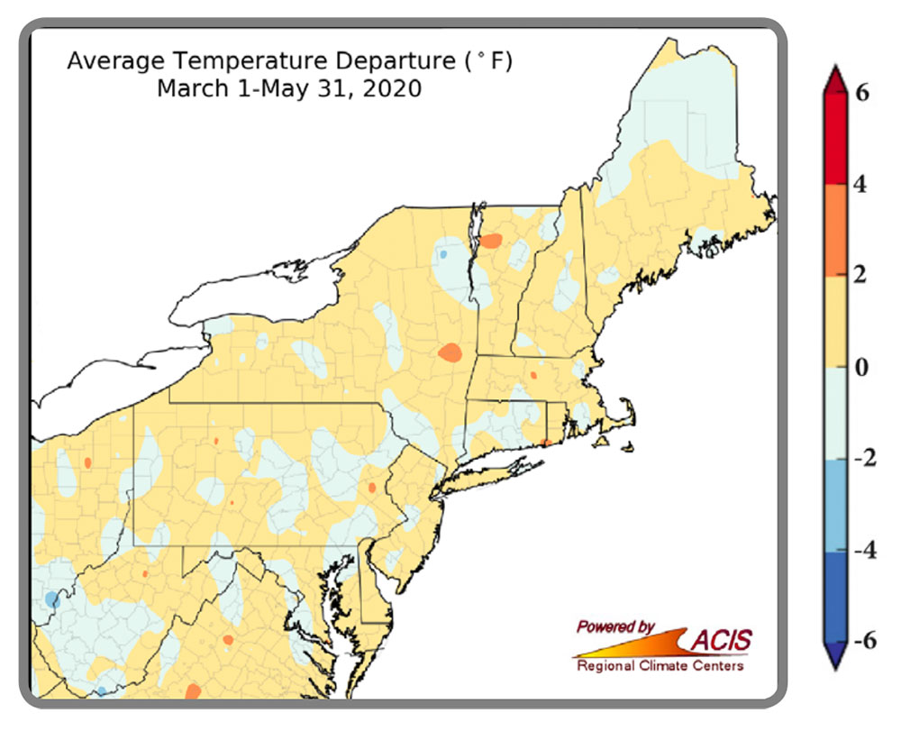
- Temperature: Departure from Normal
- Precipitation: Percent of Normal
- Drought in the Northeast
- Spring Temperatures and Snowfall
- Spring Storms
- El Niño-Southern Oscillation (ENSO)
- Atlantic Hurricane Season
The Northeast’s spring average temperature was 0.4°F above normal, ranking in the warmest third of all years. The region had its 10th warmest March at 5.0°F above normal. It ranked among the 15 warmest Marches on record for 11 of the 12 Northeast states. April was 2.7°F below normal, ranking in the coldest third of all years. May was 1.1°F below normal, ranking in the middle third of all years.
The Northeast saw 98% of normal precipitation during spring, ranking in the middle third of all years. West Virginia had its 11th wettest spring on record. March precipitation was 97% of normal, ranking in the middle third of all years. April precipitation was 119% of normal, ranking in the wettest third of all years. It was the fifth wettest April for West Virginia and the 19th wettest for Maryland and Massachusetts. May precipitation was 80% of normal, ranking in the middle third of all years.